Tools that Reveal Hidden Connections
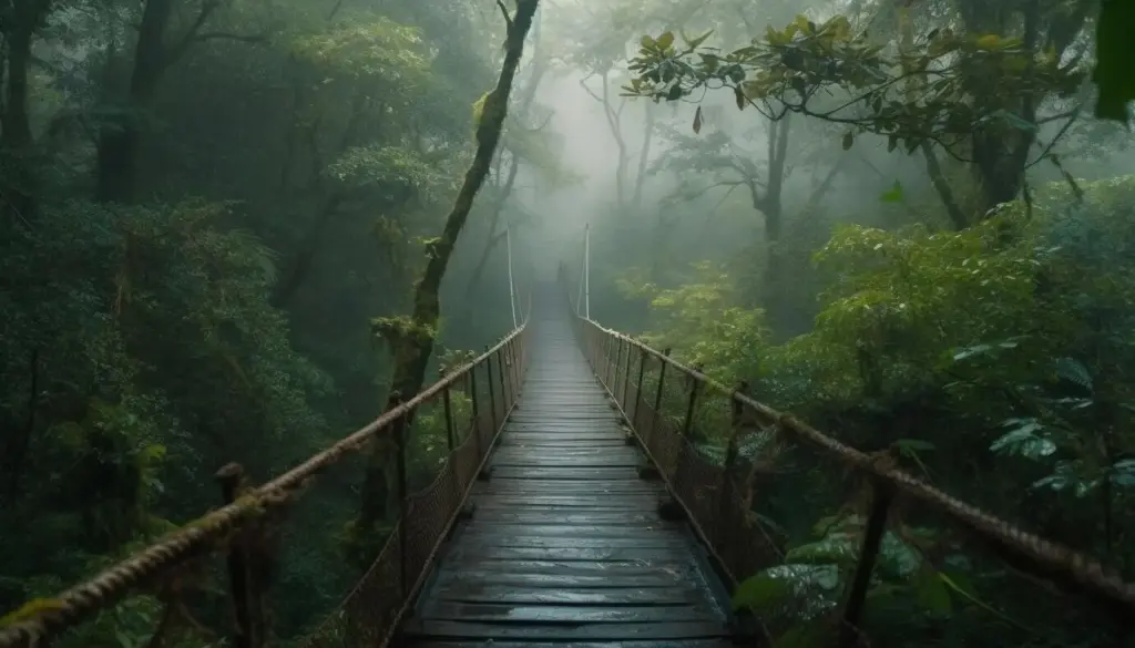
OpenStreetMap layers, city park PDFs, and satellite views expose corridors you might otherwise miss, from staircase alleys behind murals to shaded links under viaducts. Cross-reference transit stations, restrooms, and fountain icons. Add Strava heatmaps to gauge popularity, but also salute quiet alternatives. Export GPX files for offline reliability, annotate hazards, and color-code loop options so your plan remains flexible when weather, mood, or unexpected construction nudges you toward playful detours.
Balancing Elevation, Distance, and Delight
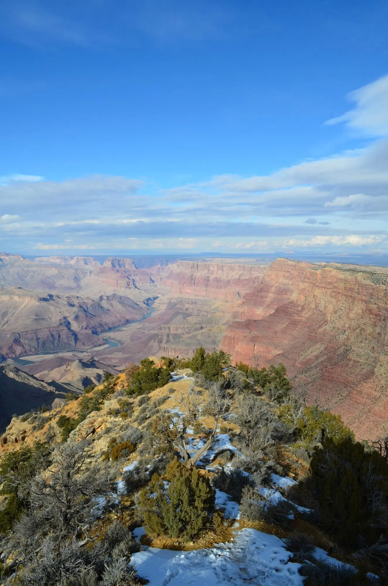
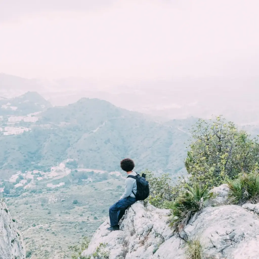
Set a comfortable distance, then layer climbs that suit your training and curiosity. Alternate steep stair bursts with meandering park stretches to protect knees and keep conversation flowing. Seek viewpoints for recovery, integrate cafes as morale anchors, and favor loops offering varied surfaces. A good plan leaves space for serendipity, while an excellent plan anticipates bathrooms, lighting transitions, and graceful exit points should energy wane or the sky surprise you with drama.


Inclusive Planning Starts Before You Tie Your Shoes
List access points with ramps, elevators, or gentle grades, and note surface types and lighting. Offer two route versions: one with stairs, one step-free. Share photos of critical turns to reduce uncertainty. Invite feedback from participants who use mobility aids or who prefer quieter segments. Inclusivity begins in the planning document, not only on the path, and it yields richer groups where more stories, skills, and smiles gather across every block and bench.


Leave No Trace, Even on Pavement
Stay on designated paths, avoid trampling flowerbeds for shortcuts, and keep snacks crumb-responsible to deter wildlife conditioning. Refill bottles at fountains instead of buying new plastics. Use quiet voices at dawn near apartments. Photograph murals respectfully without blocking passages. When we minimize impact, urban routes remain welcoming and resilient. The reward is cleaner steps, healthier habitats, happier neighbors, and a sense that your adventure contributes to the city’s ongoing wellbeing rather than wearing it down.