Find Your Way with Confidence

Today we dive into Trail Navigation Basics: Reading Topographic Maps and Using a Compass, turning paper lines and a small magnetic needle into calm, reliable decisions outdoors. Expect practical explanations, tiny field-tested tricks, and memorable stories that help you orient faster, choose smarter routes, and return with confidence, even when batteries die and clouds drop. Bring curiosity, a map, and a simple baseplate compass, and let’s build skills that stick.

Contours, Scale, and the Landscape Beneath the Paper

Those brown lines are not decoration; they are a three-dimensional story compressed into a flat sheet. Learn to see steepness, ridges, saddles, and valleys at a glance, choose lines of travel that match your energy, and avoid cliffs before they surprise your boots.

Compass Mastery from Needle to Bezel

A transparent baseplate, a spinning bezel, a red needle that wants magnetic north, and a small orienting arrow make a simple but precise instrument. Understand its parts, tame declination before it misleads, and use clean technique so your bearing guides footfalls rather than doubts.

Uniting Map and Compass for Real-World Decisions

Orienting the map so the land matches the page

Lay the map flat, rotate until ridges, valleys, and roads align visually, then confirm by setting the bezel to your declination-corrected north and putting red in the shed. Landmarks should fall into place, turning symbols into familiar shapes you can point toward confidently.

Triangulation that works even in low visibility

Identify two or three distinct features, shoot bearings to each, and draw lines back from your map’s features using the corrected angles. Where lines meet is your position. If fog hides distances, prioritize unique shapes like lone buttes, confluences, or tower silhouettes for clarity.

Rethinking routes when obstacles appear

When a swollen creek, avalanche debris, or closed trail blocks progress, pause, reorient, and sketch alternatives. Follow contour-friendly benches, use attack points closer to your objective, and preserve a safety buffer by choosing handrails and backstops that forgive small mistakes during the detour.

Route Planning That Respects Time, Elevation, and Energy

Good days begin at the table. Convert distance and ascent into realistic hours, notice where contour lines squeeze, plan generous margins before sunset, and choose campsite basins with reliable water. A thoughtful plan reduces risk while keeping space for curiosity, photos, and unhurried meals.

Field Techniques You’ll Actually Use

Great intentions fade if techniques feel fussy. Learn handrails that simplify long traverses, catching features that stop overtravel, and backstops that protect you from wandering. Add pacing and timing habits that become automatic, and you will feel steady, even when trails vanish.

Handrails, catching features, and backstops

A wide creek, cliff band, or ridgeline can guide you like a fence beside a sidewalk. Choose a catching feature beyond your objective to prevent overshooting, and a backstop behind it for security. These layers forgive small errors while momentum stays forward.

Pacing, timing, and keeping a pocket log

Calibrate steps per hundred meters on flat trail, then again on uneven ground. Use a simple cord with beads or a phone note in airplane mode to track distance and minutes, recording landmarks as you pass so later choices rest on recent facts.

Night navigation and poor weather adjustments

Darkness shortens sightlines and hides subtle contours, so shrink your legs, tighten handrails, and favor unmistakable features. Reflective markers on partners help leapfrogging, while a red headlamp preserves night vision. In heavy rain, expect streams to swell and choose higher, safer crossings.

Staying Safe, Learning Fast, and Engaging with Others

Outdoors skills grow best with humility and community. Build habits that prevent getting lost, practice small drills until they feel playful, and share successes and mistakes openly. Ask questions in the comments, subscribe for new exercises, and invite friends to practice with you.

What to do if you feel lost

STOP means stop, think, observe, plan. Sit down, breathe, and review your last confirmed point. Check the backstop you intended, listen for roads or rivers, and use a short expanding square search. Conserve warmth, daylight, and honesty, then decide deliberately with teammates.

Practice drills that build durable confidence

In a city park or safe open space, hide a small object and navigate to it using only bearings and pacing. Repeat with eyes on the map, then eyes off. Rotate leaders, log errors, and celebrate small improvements like tiny calibration victories.

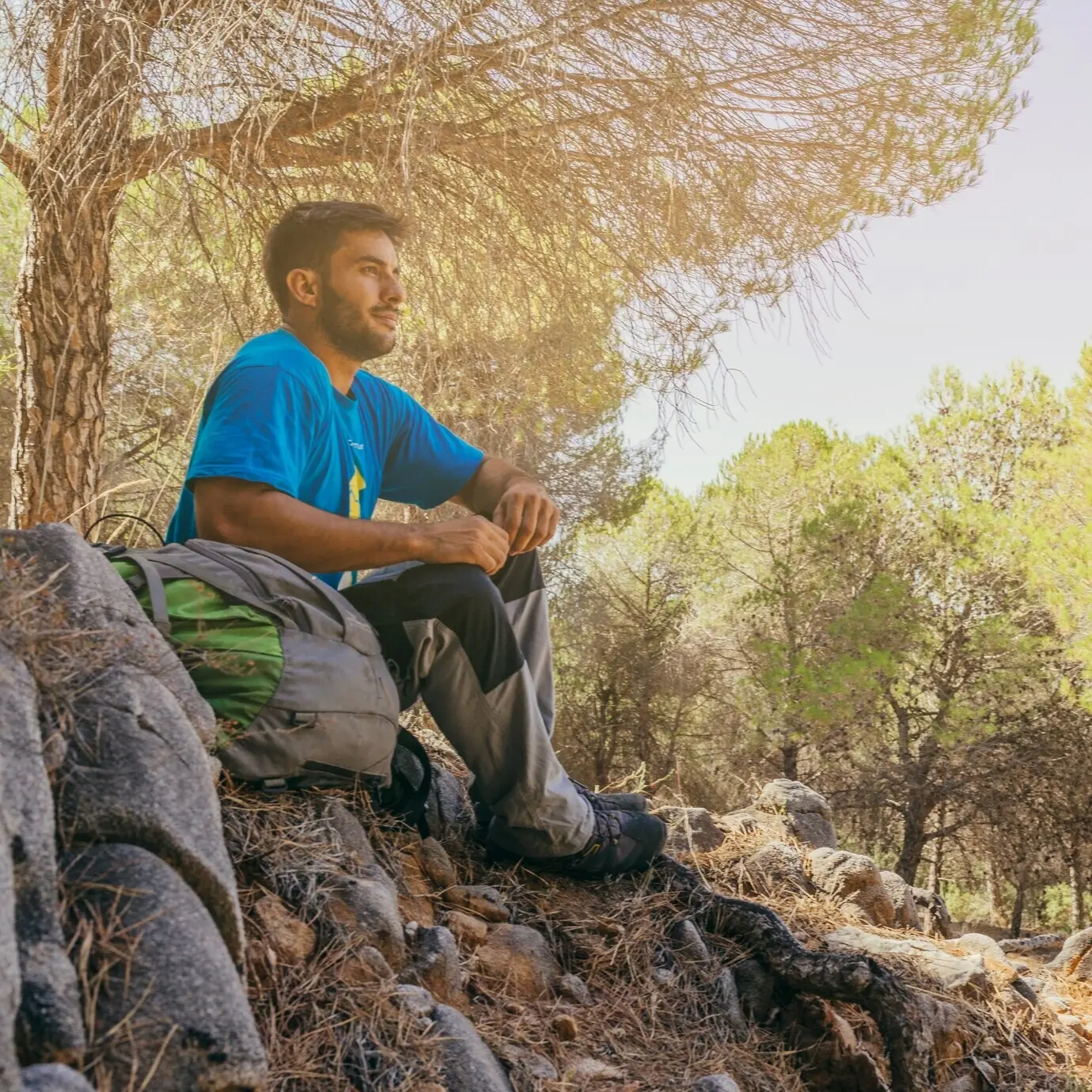
Share your progress and learn from the community

Ask for route critiques, post annotated map photos, and describe choices you made at tricky junctions. Your story may spare someone else a wrong turn, and their feedback can sharpen your next outing. Join challenges, invite beginners, and keep the conversation generous.

Animussrl
Privacy Overview

This website uses cookies so that we can provide you with the best user experience possible. Cookie information is stored in your browser and performs functions such as recognising you when you return to our website and helping our team to understand which sections of the website you find most interesting and useful.